Sunday, July 3, 2016

Tuesday, June 14, 2016
Devinci Demo hosted by Velorangutan and Revolution Mobile Bike Repair on June 25th
Check out the sign up page at Rev Repair.
http://revrepair.com/demo-day/
ARR, Williamson County and BCB are not sponsoring this. This is a public, free event to demo some of Devinci's line up at the Brushy Creek Sports Park.
http://revrepair.com/demo-day/
ARR, Williamson County and BCB are not sponsoring this. This is a public, free event to demo some of Devinci's line up at the Brushy Creek Sports Park.
Revolution Mobile Bike Repair and
Velorangutan are partnering up
to bring you Devinci Demo Days
June 25th, 2016 at Brushy Creek Park
9am – 12:30p
2310 Brushy Creek Rd, Cedar Park, TX 78613
There will be 4 slots each hour of the event. Demo rides are limited to 20 minutes max and you can ride up to 2 bikes during your hour appointment, depending on bike availability.
We will have 1 FLEX spot an hour as the 4th spot. You will have the choice of the remaining bikes/sizes that are available. You should choose this spot when there are no other times available.
- From the Provider/Event dropdown, choose the bike you want to ride.
- Click Saturday, June 25th to bring up the remaining time slots available
- Select any of the remaining time slots
- Complete the information and book! I am using my normal repair booking software to schedule this. Don’t worry about your bike brand, number of bikes, etc. I just need your contact info for the demo.
You will receive an email confirmation when the appointment is booked.
If you do not receive a confirmation email, please email me directly:drew@revrepair.com
Saturday, April 2, 2016
Brushy Creek Single Track (Deception) NEW Trail Head
The official Trailhead for Brushy Creek Single Track (BCST), or what most people know as Deception, has moved a bit. The official start of the BCST begins, just west of the RR tracks after crossing the boardwalk. The beginning uses the existing trail that created a fall line that is eroding away. The purpose of the reroute is to encourage users away from the fall line and onto a gentler slope and into the trees.

The current approved plan for the official entrance is represented by the...
RED line, sorry about the photo thumbnails.
BLUE line is the existing entrance and the...
YELLOW represents a connector trail - both the BLUE and YELLOW will be CLOSED soon and reclaimed. This is a low-lying area that holds water and creates a boggy area that stays muddy for weeks after rains. This creates an undesirable trail surface that requires too much maintenance.

The new trail avoids traversing along flat areas that tend to collect water and become muddy. Because it's on a slope it uses grade reversals to avoid the collection of water. The trail require significant bench cutting as is evident in the photos.
This is the view from the east entrance looking SW.

This is looking more south and shows the existing fall line (rutted out middle).

This picture is looking east towards where the first two photos were taken.

This photo is further west near a huge oak tree before the clearing between the new entrance and the main BCST trail.

And again, just slightly further west, looking west this shows the opening between the new trailhead section of the new entry way into main BCST.

And looking back the opposite way to the east where the previous photos was taken.

This is where the REAL work was done today, a significant amount of bench cutting was required to provide adequate width and drainage. The following photos are of the entry way into BCST from the clearing just below Dodge Cattle Dr. These are all facing west.


This is where the NEW meets the OLD. This small section will be completed later this week. More benching will be required along with a bit of cribbing work before we can close off the original odd entrance to BCST. It is rideable now, but not up to standard or sustainable.

The next series of photos is from the OLD/NEW junction looking east.


In addition to creating the new entrance we reclaimed an unauthorized trail that was just to the east of the barn area. Part of our job as Trail Stewards is to reclaim unauthorized trails.
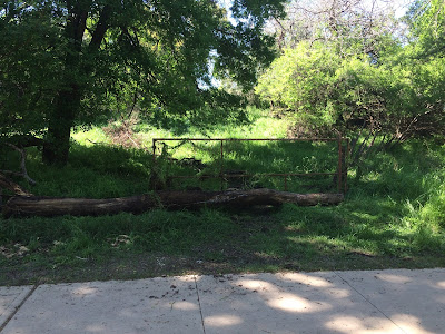


Some miscellaneous pictures from the day.


There are some "fit and finish" items remaining - brush hauling, minor trimming and treading to be completed, aside from that and the short area to connect the old and new this is good to go!!!
As always RESPECT trail closures and reclamation efforts!
THANKS TO ALL THE VOLUNTEERS!!!
Chad Neuman Collums 4 hrs
Jesse Warner 4 hrs
Robert Paulk 4 hrs
Brian Hoffman 4 hrs
Jeff Saunders 4hrs
Eric Cunningham 4hrs
Steve Burger 2hrs
Eric Burns 7hrs (includes Apr 1 corridor cutting)
Joshua Chambless 3hrs (includes Apr 1 corridor cutting)
Total man hours 36 Hours

The current approved plan for the official entrance is represented by the...
RED line, sorry about the photo thumbnails.
BLUE line is the existing entrance and the...
YELLOW represents a connector trail - both the BLUE and YELLOW will be CLOSED soon and reclaimed. This is a low-lying area that holds water and creates a boggy area that stays muddy for weeks after rains. This creates an undesirable trail surface that requires too much maintenance.

The new trail avoids traversing along flat areas that tend to collect water and become muddy. Because it's on a slope it uses grade reversals to avoid the collection of water. The trail require significant bench cutting as is evident in the photos.
This is the view from the east entrance looking SW.


This picture is looking east towards where the first two photos were taken.

This photo is further west near a huge oak tree before the clearing between the new entrance and the main BCST trail.

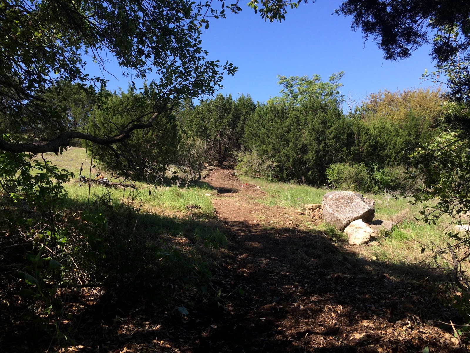
And looking back the opposite way to the east where the previous photos was taken.


This is where the NEW meets the OLD. This small section will be completed later this week. More benching will be required along with a bit of cribbing work before we can close off the original odd entrance to BCST. It is rideable now, but not up to standard or sustainable.

The next series of photos is from the OLD/NEW junction looking east.


In addition to creating the new entrance we reclaimed an unauthorized trail that was just to the east of the barn area. Part of our job as Trail Stewards is to reclaim unauthorized trails.


Some miscellaneous pictures from the day.


There are some "fit and finish" items remaining - brush hauling, minor trimming and treading to be completed, aside from that and the short area to connect the old and new this is good to go!!!
As always RESPECT trail closures and reclamation efforts!
THANKS TO ALL THE VOLUNTEERS!!!
Chad Neuman Collums 4 hrs
Jesse Warner 4 hrs
Robert Paulk 4 hrs
Brian Hoffman 4 hrs
Jeff Saunders 4hrs
Eric Cunningham 4hrs
Steve Burger 2hrs
Eric Burns 7hrs (includes Apr 1 corridor cutting)
Joshua Chambless 3hrs (includes Apr 1 corridor cutting)
Total man hours 36 Hours
Wednesday, March 23, 2016
Barn to Picnic - SMALL CLOSURE/Reroute
The trail that travels through the Barn and to the BCRT meant to be a connector to Picnic is CLOSED!
This closure is for the safety of all park users as the structure is becoming more unsafe. We are hoping this will be a temporary closure and that we can work with the Park and Rec to partially restore the structure allowing users to be under the barn and travel through it. We are unable to consider this at this time as the Barn is under review for a a Historic artifact.
Please see the attached photo, as you can see it a very short section of trail that is being closed off, the other existing trails are unaffected and users can go around the Barn on the existing trail to access the BCRT or Pinic. There are some unauthorized trails in the immediate area that we will block and reclaim, but will we also be adding some new trails to this area very soon!


This closure is for the safety of all park users as the structure is becoming more unsafe. We are hoping this will be a temporary closure and that we can work with the Park and Rec to partially restore the structure allowing users to be under the barn and travel through it. We are unable to consider this at this time as the Barn is under review for a a Historic artifact.
Please see the attached photo, as you can see it a very short section of trail that is being closed off, the other existing trails are unaffected and users can go around the Barn on the existing trail to access the BCRT or Pinic. There are some unauthorized trails in the immediate area that we will block and reclaim, but will we also be adding some new trails to this area very soon!


Thursday, March 10, 2016
Don't ride the trail while it's too wet!
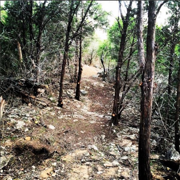
Please respect the work the trail builders put into the trail, respect the other users by not riding, hiking or running while it's wet. You will create ruts/potholes. Many people widen the trail when they use wet trails. Ruts and widening both contribute significantly to erosion.
Ruts create an undesirable trail surface, take manpower to repair, we'd rather make improvements.


Ruts create an undesirable trail surface, take manpower to repair, we'd rather make improvements.

Saturday, March 5, 2016
Trail Work on Lower Dave's East and Closure on Dave's West
Wilco added their trail closure sign to the Dave's Ditch WEST Trail to finish off the closure of the west trail.


BCB worked today to remove a lot of the dirt from the 'ramp' up to Dave's west. We reused that dirt on the Dave's Ditch East Trail. We recribbed the first climbing section and restored a lot of the tread as well.
Volunteers:
Eric Burns
Joshua Chambless
Brian Hoffman
Chirstopher Ever
Eric Cunningham
Affected area - please respect the closure:


Affected area - please respect the closure:


Thursday, March 3, 2016
Trail Reroute due to trail closure - The Rim and Dave's Ditch area
The section at the top of The Rim (aka Rim Job) that goes along the back of the new houses is closed. This section of trail has been rerouted a few feet down hill. There are Park Boundary signs and blockages to help control this reroute. The trail that goes around Dave's Ditch and enters the ditch from the west side near the bottom is also closed.
Due to the trail going 1) onto private property (an environmental easement) and 2) a historically sensitive area the county was required to close these sections off. It is very important to respect these official trail closures, if the county cannot manage to keep people away from these areas more drastic measures may be required. These measures could have a much more significant negative impact to The Rim and Dave's Ditch. Please know that we have to negotiate with the county to keep The Rim and Dave's open and they will remain open ONLY if trail users respect the closures.
The Rim Trail and Dave's Ditch remain open, the connector trails from Dave's Ditch to The Rim on the EAST side of Dave's also remain open. It is only the area along the houses that connect to the WEST side of Dave's Ditch and the trail west of Dave's Ditch that are closed.
DO NOT remove the boundary signs or fence, do not remove the blockage and do not use these trails. If you want to continue to enjoy The Rim and Dave's Ditch respect the reroute and closure.
Volunteers:
Eric Burns
Jesse Warner
Chad Collums
AJ Camp
Brian Hoffman
Dimitri Nichols
Christopher Evers
Eric Cunningham
Thanks!


Due to the trail going 1) onto private property (an environmental easement) and 2) a historically sensitive area the county was required to close these sections off. It is very important to respect these official trail closures, if the county cannot manage to keep people away from these areas more drastic measures may be required. These measures could have a much more significant negative impact to The Rim and Dave's Ditch. Please know that we have to negotiate with the county to keep The Rim and Dave's open and they will remain open ONLY if trail users respect the closures.
The Rim Trail and Dave's Ditch remain open, the connector trails from Dave's Ditch to The Rim on the EAST side of Dave's also remain open. It is only the area along the houses that connect to the WEST side of Dave's Ditch and the trail west of Dave's Ditch that are closed.
DO NOT remove the boundary signs or fence, do not remove the blockage and do not use these trails. If you want to continue to enjoy The Rim and Dave's Ditch respect the reroute and closure.
Volunteers:
Eric Burns
Jesse Warner
Chad Collums
AJ Camp
Brian Hoffman
Dimitri Nichols
Christopher Evers
Eric Cunningham
Thanks!


Subscribe to:
Posts (Atom)